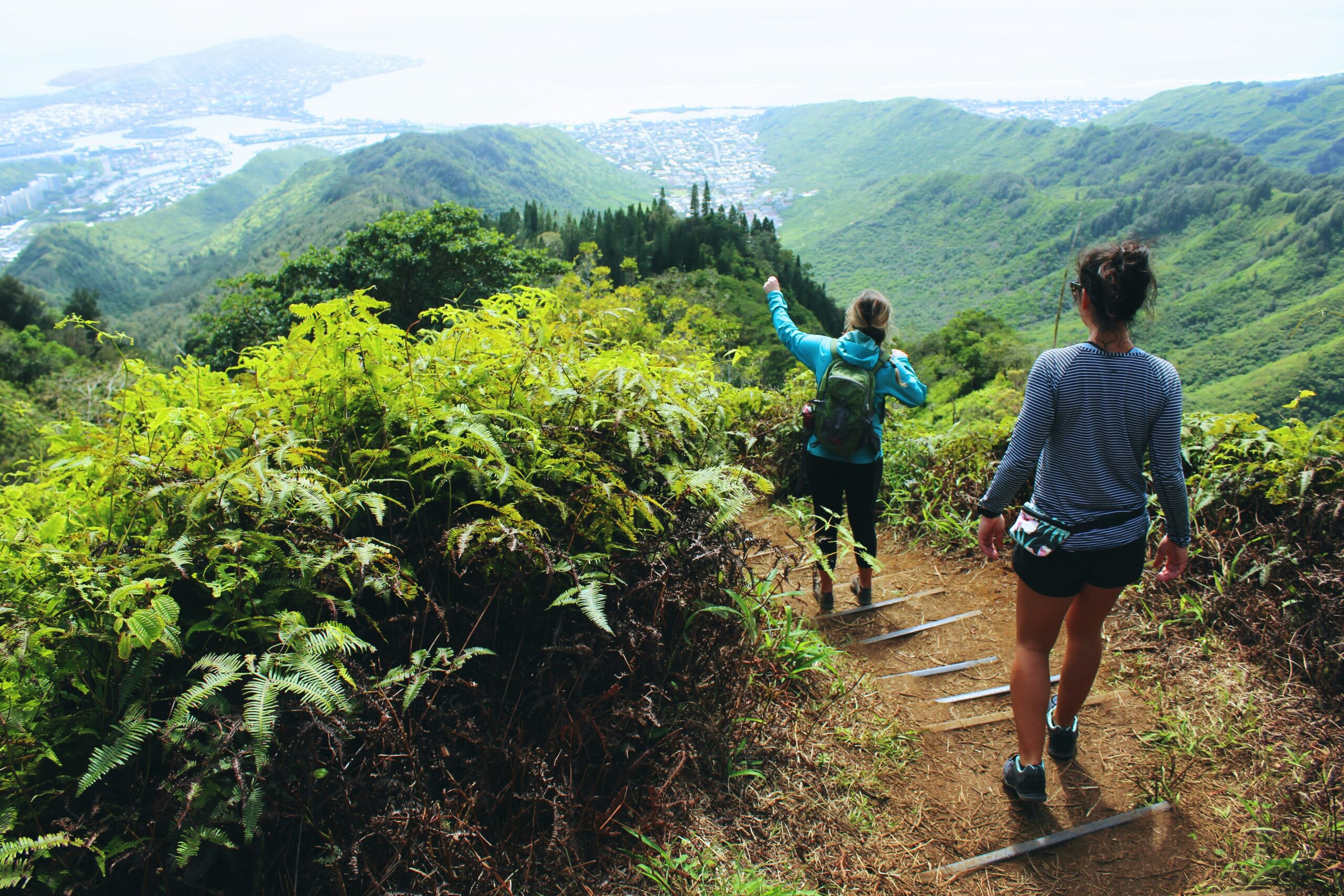
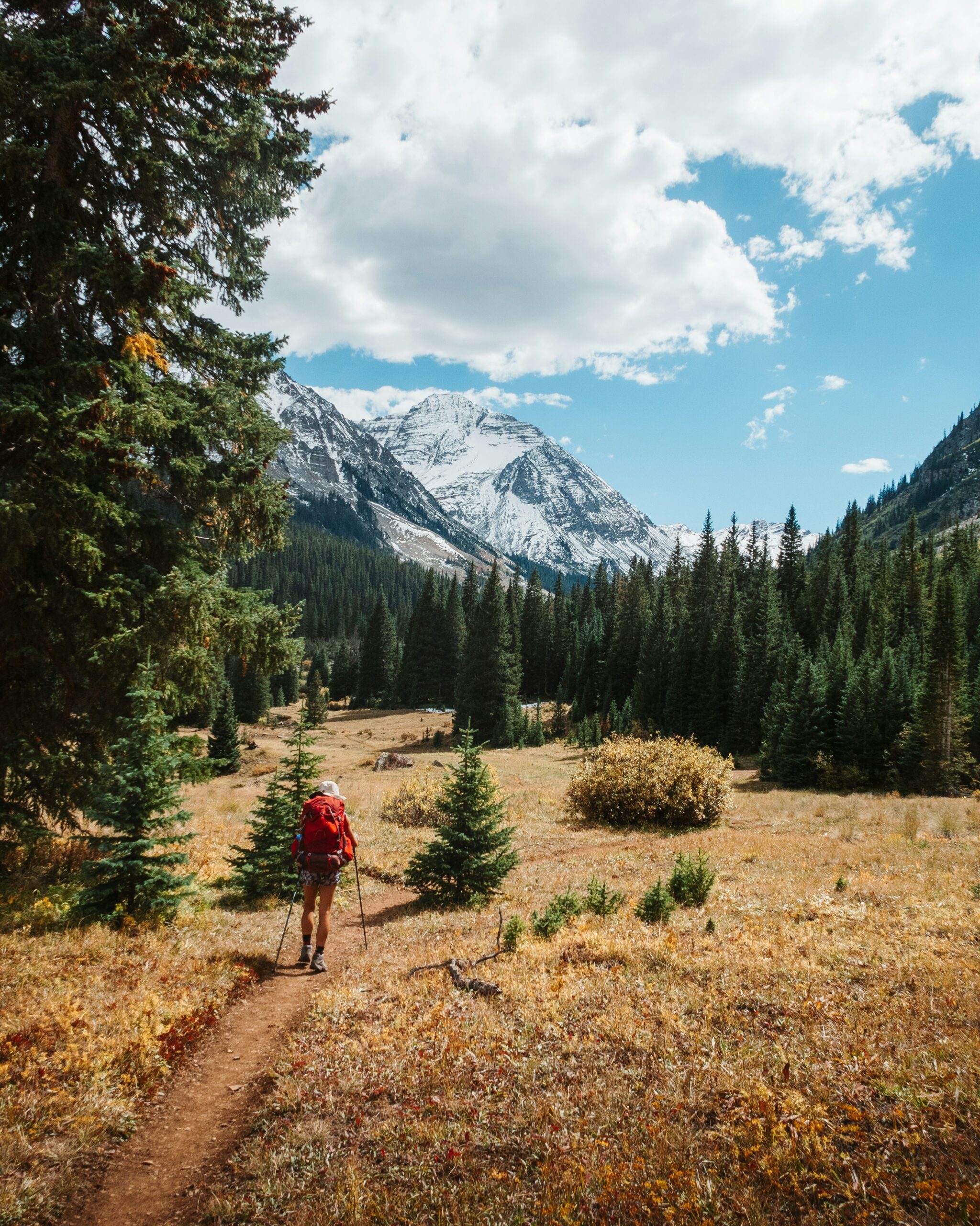
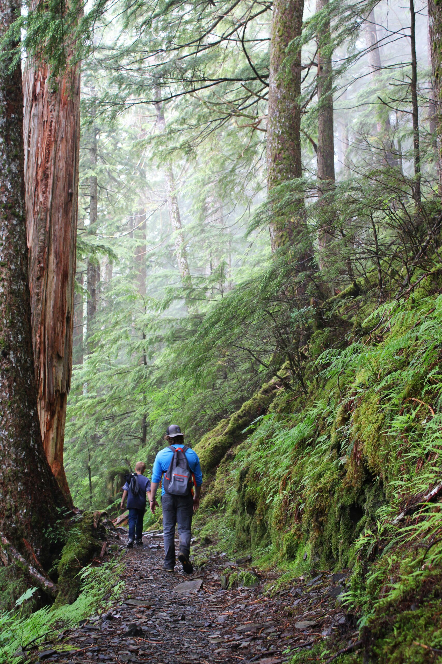
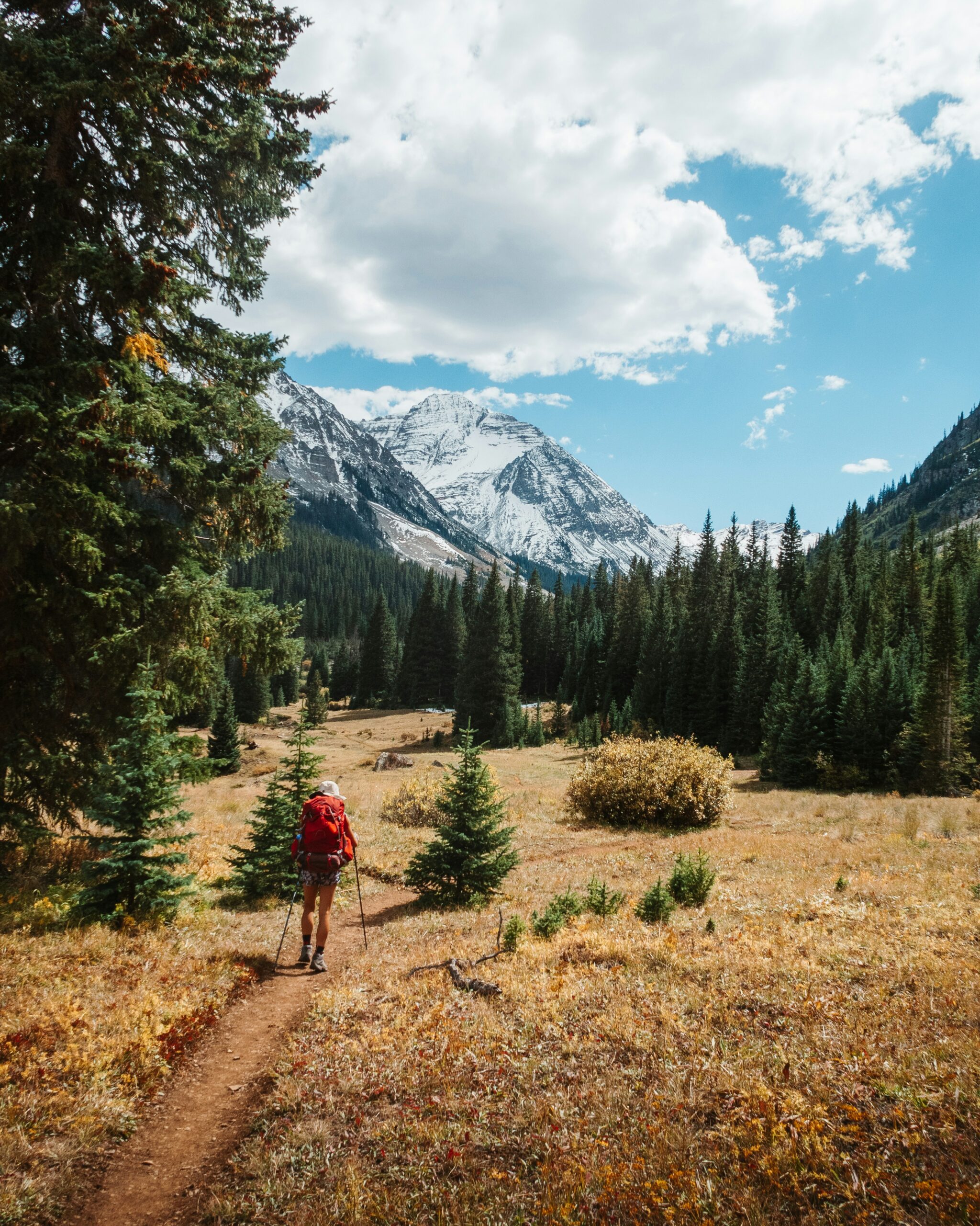
Imagine stepping into a world of breathtaking beauty, where towering trees reach for the sky and panoramic views stretch as far as the eye can see. Welcome to the Mount Shasta Wilderness Area, a haven for outdoor enthusiasts and nature lovers alike. Nestled in the heart of northern California, this enchanting wilderness area boasts a myriad of hiking trails that beckon you to explore its unspoiled wonders. Whether you seek a challenging adventure or a leisurely stroll amidst nature's grandeur, Mount Shasta offers a trail for every level of hiker. So, grab your hiking boots, pack a sense of wonder, and let's embark on a thrilling journey through some of the most captivating hiking trails this wilderness has to offer.
Overview of the Mount Shasta Wilderness Area
Location and size of Mount Shasta Wilderness
The Mount Shasta Wilderness is located in Northern California, in the vicinity of the iconic Mount Shasta. This wilderness area covers approximately 38,200 acres, offering a stunning natural playground for outdoor enthusiasts to explore and enjoy.
Significance of Mount Shasta
Mount Shasta holds great significance for both the Native American tribes of the region and outdoor enthusiasts. Standing at an impressive elevation of 14,179 feet, it is the second-highest peak in the Cascade Range. Its towering presence and mystical aura have made it a destination for spiritual seekers as well.
Wildlife and flora in the Mount Shasta Wilderness
The Mount Shasta Wilderness is home to a diverse range of wildlife and flora. As you hike through this pristine wilderness, keep an eye out for some of the area's residents, such as black bears, mountain lions, deer, and a variety of bird species. In terms of plant life, you'll encounter a mix of coniferous forests, wildflowers, and alpine meadows, creating a breathtaking natural landscape.
Safety Tips for Hiking in the Mount Shasta Wilderness
Preparing for the hike
Before embarking on any hiking adventure in the Mount Shasta Wilderness, it's important to adequately prepare. Start by researching the trail you plan to hike, including its difficulty level and any potential hazards. Ensure you have a reliable map and familiarize yourself with the route. Additionally, make sure to inform someone of your hiking plans, including your expected return time.
Weather conditions
The weather in the Mount Shasta Wilderness can be highly variable, even during the summer months. It's crucial to check the forecast before heading out and to be prepared for changing conditions. Bring appropriate clothing layers to handle temperature fluctuations, as well as sun protection like a hat, sunscreen, and sunglasses. Remember, it's always better to be overprepared than caught off guard by unexpected weather changes.
Safety gear to bring and wear
To ensure your safety on the trails, it's important to bring and wear the proper safety gear. Invest in a sturdy pair of hiking boots that provide good ankle support and traction for uneven terrain. Carry a well-fitted backpack with essentials such as water, snacks, a first aid kit, a headlamp, a whistle, and a multi-tool. Don't forget your cell phone for emergencies, but keep it on airplane mode to conserve battery life.
Handling encounters with wildlife
While it's exciting to spot wildlife in the Mount Shasta Wilderness, it's essential to know how to handle these encounters safely. Maintain a safe distance from animals, as approaching too closely can disturb them or even provoke an attack. Keep your food securely stored to avoid attracting wildlife. Respect their natural habitat and observe them from a distance with binoculars or a telephoto lens.

Trail 1: Bunny Flat to Panther Meadows
Description of the trail
The Bunny Flat to Panther Meadows trail is a popular and picturesque hike in the Mount Shasta Wilderness. Starting at Bunny Flat, the trail winds through alpine meadows and dense coniferous forests before reaching Panther Meadows, a stunning area known for its vibrant wildflowers and serene surroundings.
Difficulty level
This trail is considered moderate in difficulty, making it suitable for hikers of various skill levels. The elevation gain is approximately 1,000 feet, so be prepared for some uphill sections. However, the well-maintained trail and beautiful scenery make every step worth it.
Scenery and highlights along the trail
As you hike along the Bunny Flat to Panther Meadows trail, you'll be treated to breathtaking views of Mount Shasta and the surrounding wilderness. Keep an eye out for the diverse wildflowers that bloom in Panther Meadows during the summer months. The peaceful serenity of the meadow offers a tranquil escape from the bustling city life.
Tips and things to know before hiking
Before hiking this trail, it's important to obtain a wilderness permit from the appropriate authorities. Bring plenty of water and snacks, as there are no amenities along the trail. It's also advisable to hike during daylight hours and check the weather conditions beforehand. Carry a map and compass, even if you're familiar with the trail, as weather changes can affect visibility.
Trail 2: Gray Butte Trail
Description of the trail
The Gray Butte Trail takes you on a captivating journey through the Mount Shasta Wilderness. This trail begins at the Bunny Flat trailhead and gradually ascends to Gray Butte, offering stunning panoramic views of the surrounding landscape.
Difficulty level
Considered a moderately challenging trail, the Gray Butte Trail features a steady uphill climb. The elevation gain is approximately 1,800 feet, so be prepared for a bit of exertion. However, the rewarding views and sense of accomplishment at the summit make it well worth the effort.
Scenery and highlights along the trail
As you make your way up the Gray Butte Trail, you'll be treated to breathtaking vistas of Mount Shasta, alpine meadows, and towering trees. The trail meanders through serene forests, providing ample opportunities to connect with nature and enjoy the peace and tranquility of the wilderness.
Tips and things to know before hiking
Before embarking on the Gray Butte Trail, ensure you have a valid wilderness permit. Come prepared with plenty of water and snacks to keep yourself hydrated and energized throughout the hike. Consider wearing layers, as weather conditions can change rapidly. Always carry a trail map and familiarize yourself with the route to avoid getting lost.

Trail 3: Mount Shasta Summit via Avalanche Gulch
Description of the trail
The Mount Shasta Summit via Avalanche Gulch trail is a challenging and exhilarating adventure that leads hikers to the pinnacle of the iconic Mount Shasta. This trail is recommended for experienced mountaineers who are well-prepared for the physical demands and technical aspects of high-altitude climbing.
Difficulty level
This trail is classified as advanced due to its steep ascent, high elevation, and potential hazards. Hikers attempting this route should have previous experience in mountaineering and be equipped with the necessary technical gear. It's crucial to be in excellent physical condition and to acclimatize properly to the high altitude.
Scenery and highlights along the trail
As you ascend the Mount Shasta Summit via Avalanche Gulch, you'll be rewarded with awe-inspiring views of the surrounding landscape and distant peaks. The route takes you through challenging snowfields, steep slopes, and alpine terrain. It's a truly remarkable journey for those seeking a thrilling and unforgettable mountaineering experience.
Tips and things to know before hiking
If you plan to hike the Mount Shasta Summit via Avalanche Gulch, it's essential to have extensive mountaineering experience and knowledge of snow and ice climbing techniques. Familiarize yourself with the route beforehand, and consider hiring a professional guide if you lack experience. Adequate physical fitness and acclimatization to the high altitude are of utmost importance. Be prepared for rapidly changing weather conditions and carry all the necessary safety equipment, including an ice axe, crampons, rope, and a helmet.
Trail 4: South Gate Meadow
Description of the trail
The South Gate Meadow trail offers a peaceful and scenic hike through the Mount Shasta Wilderness. Starting at the South Gate trailhead, this trail takes you through lush meadows, enchanting woodlands, and alongside gushing streams.
Difficulty level
The South Gate Meadow trail is generally rated as an easy to moderate hike, suitable for hikers of various skill levels. The terrain is relatively flat, making it a pleasant walk for beginners or those looking for a more leisurely outdoor experience.
Scenery and highlights along the trail
As you stroll along the South Gate Meadow trail, you'll be surrounded by the beauty of the wilderness. Enjoy the vibrant array of wildflowers that dot the meadows during the warmer months. Marvel at the crystal-clear streams and soak in the serene atmosphere of nature. This trail provides a wonderful opportunity to connect with the peaceful landscapes and abundant wildlife of the Mount Shasta Wilderness.
Tips and things to know before hiking
Before setting foot on the South Gate Meadow trail, ensure you have a valid wilderness permit. Carry plenty of water to stay hydrated, especially during hot weather. Bring insect repellent to ward off any unwelcome critters. It's also a good idea to wear lightweight, breathable clothing and sturdy hiking shoes. Don't forget to bring your camera to capture the picturesque scenery along the way.

Trail 5: Horse Camp
Description of the trail
The Horse Camp trail offers a delightful hiking experience in the Mount Shasta Wilderness. This trail begins at the Bunny Flat trailhead and winds through alpine forests, meadows, and volcanic landscapes.
Difficulty level
The Horse Camp trail is considered a moderate hike, suitable for hikers with some previous experience. While there are some uphill sections, the trail is generally well-maintained and offers a pleasant walking experience.
Scenery and highlights along the trail
As you traverse the Horse Camp trail, you'll be treated to captivating views of Mount Shasta's majestic slopes. The trail takes you through lush meadows adorned with colorful wildflowers during the summer months. Keep an eye out for wildlife, such as deer and birds, that call this tranquil wilderness area their home.
Tips and things to know before hiking
Before heading out on the Horse Camp trail, be sure to obtain a valid wilderness permit. Pack enough water to stay hydrated, as there are limited water sources along the trail. Wear appropriate hiking shoes that provide good traction, as the terrain can be uneven. Consider bringing a picnic lunch to enjoy at one of the scenic spots along the trail.
Trail 6: Clear Creek Trail
Description of the trail
The Clear Creek Trail offers a captivating journey through the Mount Shasta Wilderness, showcasing the beauty of this untouched natural sanctuary. This trail starts at the Clear Creek trailhead and winds through meadows, forests, and the picturesque Clear Creek itself.
Difficulty level
The Clear Creek Trail is rated as moderate in difficulty. The trail features a gradual elevation gain, offering a manageable challenge for hikers of varying skill levels. It's an excellent choice for those looking to immerse themselves in the wilderness and enjoy an invigorating outdoor experience.
Scenery and highlights along the trail
As you traverse the Clear Creek Trail, you'll be surrounded by the stunning beauty of the Mount Shasta Wilderness. Admire the vibrant wildflowers that carpet the meadows during the summer, and listen to the soothing sounds of Clear Creek as it winds its way through the landscape. Be sure to keep your eyes open for glimpses of wildlife and to take advantage of the numerous photo opportunities along the way.
Tips and things to know before hiking
Make sure to obtain a valid wilderness permit before embarking on the Clear Creek Trail. Pack enough water and snacks to sustain you throughout the hike, as there are no amenities along the trail. Wear comfortable and sturdy hiking shoes to navigate the various terrain types. Consider bringing a lightweight camping chair to relax and enjoy the peacefulness of the wilderness at one of the scenic spots.
Trail 7: Black Butte
Description of the trail
The Black Butte trail offers a unique and rewarding hiking experience in the Mount Shasta Wilderness. This trail takes you to the summit of Black Butte, a dormant volcano standing at an elevation of 6,334 feet.
Difficulty level
The Black Butte trail is considered moderately challenging due to the steep and rocky terrain that leads to the summit. Hikers should be prepared for a strenuous climb, as the trail gains approximately 1,900 feet in elevation. However, the panoramic views from the summit make it well worth the effort.
Scenery and highlights along the trail
As you ascend the Black Butte trail, you'll be treated to stunning vistas of Mount Shasta, surrounding peaks, and the sprawling wilderness below. Admire the unique volcanic formations and the diverse flora that thrives in this enchanting landscape. Reaching the summit offers a sense of accomplishment and a breathtaking 360-degree view of the picturesque surroundings.
Tips and things to know before hiking
Before beginning your hike on the Black Butte Trail, ensure you have all the necessary permits. Bring plenty of water to stay hydrated, as there are no water sources along the trail. Wear sturdy hiking boots to navigate the rugged terrain. Pack a light jacket or windbreaker, as the summit can be windy and cooler than the base. It's also advisable to carry a first aid kit and a hiking stick for added stability.
Rules and Regulations for Hiking in the Mount Shasta Wilderness
Permits and fees
When hiking in the Mount Shasta Wilderness, it is essential to obtain the required permits. Wilderness permits can be obtained at designated trailheads or from the appropriate authorities. Some trails may require additional fees, so make sure to check the regulations for each specific trail.
Trail etiquette
To preserve the natural beauty of the Mount Shasta Wilderness and ensure a safe and enjoyable experience for all hikers, it's crucial to follow trail etiquette. Stay on designated trails to protect fragile ecosystems and prevent erosion. Yield to uphill hikers and give way to faster-moving trail users. Leave gates as you found them and respect private property boundaries.
Leave No Trace principles
When hiking in the Mount Shasta Wilderness, it's essential to adhere to the principles of Leave No Trace. Pack out all trash and litter, leaving the wilderness as pristine as you found it. Minimize your impact on the environment by camping at designated sites and using established fire rings. Avoid picking plants or disturbing wildlife, and keep noise to a minimum to preserve the tranquility of the wilderness.
Camping guidelines
If you plan to camp in the Mount Shasta Wilderness, follow the established camping guidelines. Camp only in designated areas and adhere to any fire restrictions in place. Set up camp at least 200 feet away from water sources to minimize contamination. Leave your campsite clean and undisturbed, ensuring that no traces of your presence remain.
By following these rules and regulations, hikers can contribute to the preservation and protection of the Mount Shasta Wilderness for future generations to enjoy.
In conclusion, the Mount Shasta Wilderness Area offers a wide range of hiking trails suitable for all skill levels. From the serene meadows of Bunny Flat to the challenging ascent to the summit of Mount Shasta, each trail provides its own unique experience. With proper preparation, safety gear, and an understanding of the rules and regulations, hikers can embark on unforgettable adventures amidst the breathtaking beauty of the Mount Shasta Wilderness. So lace up your boots, grab your backpack, and embark on a hiking journey that will leave you in awe of nature's magnificence.

