
Imagine a world where the iconic and majestic Mt. Shasta, towering over the landscape with its snowy peak, suddenly erupted in a glorious display of volcanic power. The question on everyone's minds is, how far would it reach? Explosions, ash clouds, and lava flows – it's a fascinating and somewhat terrifying thought. In this article, we'll explore the potential impact of a eruption of Mt. Shasta, taking into account the factors that would determine just how far its devastating effects would extend. Hold onto your hats, folks, because we're about to embark on an explosive journey into the fascinating world of volcanic eruptions.
Understanding Mt. Shasta
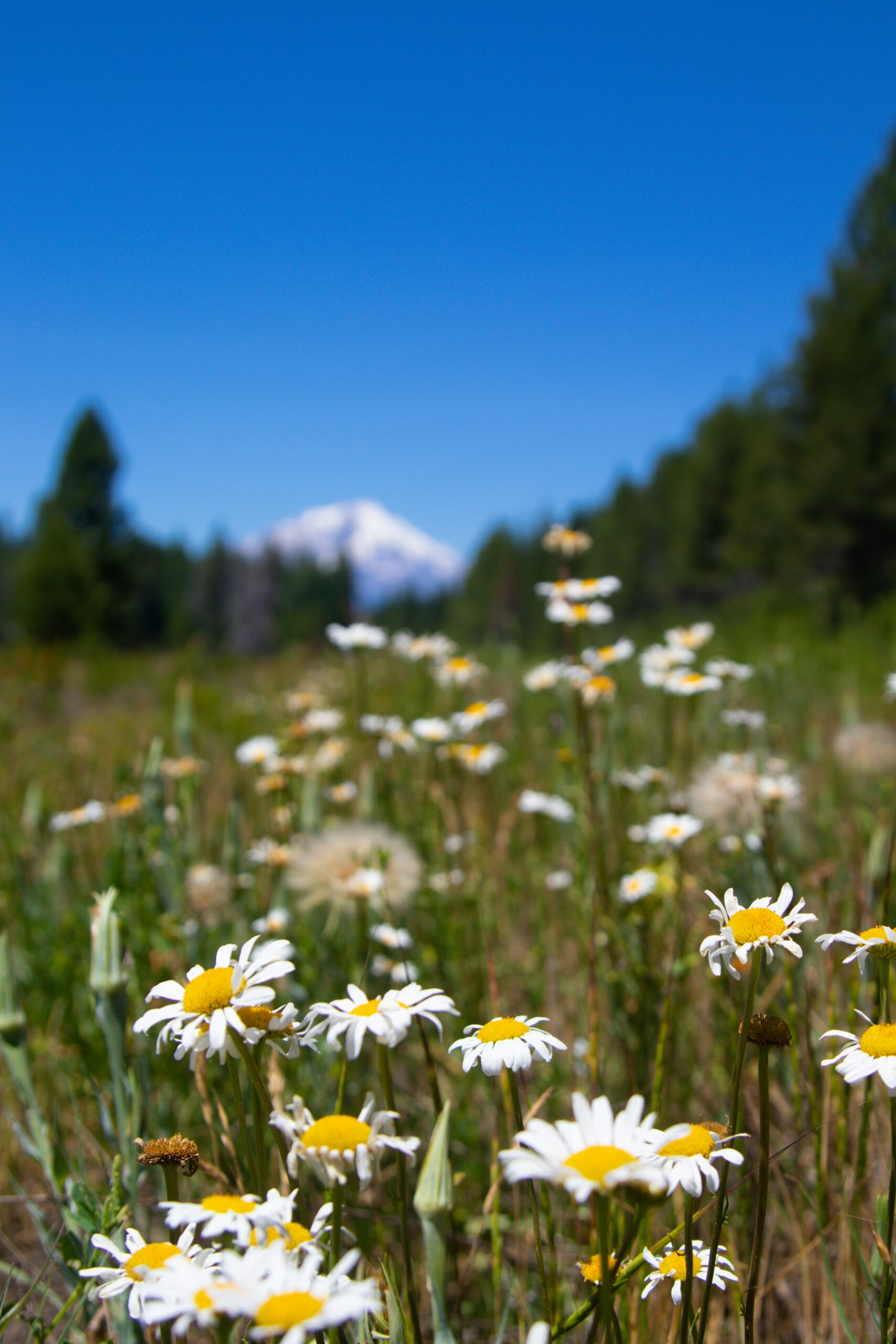
Mt. Shasta is a majestic volcanic peak located in Northern California, standing at an impressive height of 14,179 feet. Its unique geological formation and rich history make it a significant landmark in the region. Understanding the formation, present status, and eruption history of Mt. Shasta can provide valuable insights into the potential impact of any future volcanic activity.
Geological formation of Mt. Shasta
The formation of Mt. Shasta dates back to around 593,000 years ago during the Pleistocene period. It is classified as a stratovolcano, also known as a composite volcano, which is characterized by its steep slopes and explosive eruptions. The mountain is primarily composed of layers of volcanic ash, pumice, and lava flows that have accumulated over millions of years. The geological processes, including subduction of the Pacific tectonic plate beneath the North American plate, have contributed to the formation of this magnificent volcano.
Present status of Mt. Shasta
Currently, Mt. Shasta is considered to be dormant, meaning it is not actively erupting but has the potential to do so in the future. The volcano is closely monitored by the United States Geological Survey (USGS), which constantly monitors its seismic activity, gas emissions, and ground deformation. This monitoring allows scientists to assess any changes or signs of volcanic activity and provide timely warnings if necessary. While Mt. Shasta may appear peaceful and dormant, it is vital to understand the signs that indicate its current state and the potential for future eruptions.
General history of Mt. Shasta eruptions
Over the course of its history, Mt. Shasta has experienced numerous eruptions, varying in intensity and magnitude. The volcano has been active for approximately 593,000 years, with the most recent eruption occurring around 1786 CE. These eruptions have shaped the landscape, leaving behind distinct volcanic features such as lava domes, pyroclastic flows, and ash deposits. By studying the eruption history of Mt. Shasta, scientists can gain valuable insights into the frequency, duration, and potential impact of future eruptions.
Current Dormant State of Mt. Shasta
Understanding volcanic dormancy is crucial in comprehending the current state of Mt. Shasta. Dormancy refers to a period when a volcano is not actively erupting but has the potential to erupt again in the future. Several geological signs help determine the dormant state of a volcano, including a decrease in volcanic gas emissions, absence of seismic activity, and stable ground deformation. For Mt. Shasta, these signs provide reassurance that the volcano is currently in a dormant state.
Geological signs of Mt. Shasta’s dormancy
Mt. Shasta's dormant state is indicated by the absence of significant seismic activity. Volcanic earthquakes are often precursors to eruptions and can signal volcanic unrest. Additionally, a decrease in gas emissions, such as sulfur dioxide and carbon dioxide, is observed during the dormant period. These emissions are a product of volcanic activity, and their reduction suggests a lack of magma movement and volcanic unrest. Monitoring these signs on an ongoing basis is essential to ensure the accurate assessment of Mt. Shasta's current state.
Duration of Mt. Shasta’s current dormant state
Determining the duration of a volcano's dormant state is challenging, as it can vary significantly from one volcano to another. Mt. Shasta has been dormant since its last eruption in 1786 CE, making it over 200 years since the volcano's last activity. However, it is important to note that dormant periods can last for hundreds or even thousands of years before a volcano reawakens. Continuous monitoring of Mt. Shasta's seismic activity, gas emissions, and ground deformation is crucial in assessing any changes that may suggest an end to its dormancy.
Mt. Shasta’s Past Eruptions
Mt. Shasta has a long history of eruptions, each leaving its mark on the surrounding landscape and ecosystem. In its past, the volcano has exhibited a range of eruption styles, varying from relatively mild to more explosive events.

Description of past Mt. Shasta eruptions
Past eruptions of Mt. Shasta have typically involved the ascent of magma through the volcano's plumbing system, leading to the release of volcanic gases and the effusion of lava flows. These eruptions have ranged from a few days to several months in duration. The volcano has experienced both effusive eruptions, characterized by the slow and steady flow of lava, and explosive eruptions, marked by the violent ejection of ash, pumice, and volcanic bombs. The intensity and scale of the eruption depend on various factors, including the composition of the magma and the presence of gas.
Effects experienced during previous eruptions
During previous eruptions, Mt. Shasta has had significant impacts on the surrounding environment and nearby communities. The explosive eruptions have resulted in the deposition of ash and volcanic debris over vast areas, causing disruptions to transportation, agriculture, and daily life. The volcanic ash, when mixed with rain or melted snow, can result in lahars, dangerous mudflows capable of traveling long distances. The impacts of these eruptions highlight the importance of understanding Mt. Shasta's potential for future volcanic activity and implementing appropriate measures to mitigate the effects.
Eruption frequencies in the historical record
Determining the frequency of Mt. Shasta's eruptions is vital in assessing the likelihood of future volcanic events. Historical records indicate that the volcano has had several eruptive periods separated by significant intervals of dormancy. While the exact intervals may vary, eruptions at Mt. Shasta have occurred with frequencies ranging from several decades to hundreds of years. These historical patterns provide valuable insights into the volcano's behavior, indicating that future eruptions are a possibility, albeit with uncertain timing.
Types of Volcanic Eruptions
Volcanic eruptions are classified into various types based on their characteristics and the nature of eruptive activity. Understanding these types provides a framework for predicting and assessing the potential eruption scenarios for Mt. Shasta.
Strombolian eruption
A strombolian eruption is characterized by the frequent explosive ejection of incandescent lava fragments, emitting glow and loud detonations. These eruptions typically form cinder cones and result in the formation of lava flows.
Vulcanian eruption
A vulcanian eruption involves the violent ejection of ash, rock fragments, and volcanic bombs during a short-lived explosion. These eruptions are often characterized by large ash plumes and pyroclastic flows.
Plinian eruption
A plinian eruption is one of the most explosive types, characterized by the powerful eruption column that shoots high into the atmosphere. These eruptions produce a significant amount of ash and volcanic debris, which can be carried over long distances by wind.
Phreatomagmatic eruption
A phreatomagmatic eruption occurs when magma comes into contact with water, resulting in a violent explosion. These eruptions generate steam-driven explosions, along with the formation of volcanic ash and mudflows known as lahars.

Speculations On Mt. Shasta Eruption
While Mt. Shasta is currently dormant, it is essential to speculate on potential eruption scenarios, considering its past behavior and the factors that contribute to volcanic activity.
Possible types of eruption for Mt. Shasta
Based on its eruption history and classification as a stratovolcano, Mt. Shasta could potentially exhibit a range of eruption types. Strombolian and vulcanian eruptions are possible due to the build-up of gas pressure and the ejection of lava fragments and volcanic bombs. However, the possibility of a plinian eruption cannot be ruled out, given the potential for widespread ash and debris dispersal.
Potential triggers for eruption
Volcanic eruptions can be triggered by various factors, including the movement and interaction of tectonic plates, the ascent of magma, and changes in the volcanic system's pressure. These triggers can result from geological processes such as subduction, volcanic inflation, or the release of accumulated gases. Monitoring these triggers and understanding their potential effects on Mt. Shasta are crucial for predicting and preparing for possible future eruptions.
Hypothetical timeline of an eruption
Predicting the exact timeline of a volcanic eruption is challenging. However, based on historical patterns and the monitoring of volcanic activity, it is possible to create a hypothetical timeline for a potential Mt. Shasta eruption. This timeline would involve the detection of increased seismic activity, the rise of volcano-tectonic earthquakes, and the onset of ground deformation. As these signs intensify, further precautions, such as monitoring gas emissions and implementing evacuation plans, would be put into action to ensure the safety of the surrounding communities.
Effects of Mt. Shasta’s Eruption
Understanding the potential effects of a Mt. Shasta eruption is vital for preparedness and response planning.
Immediate effects
An eruption of Mt. Shasta could have immediate effects, including the explosive ejection of volcanic ash and debris. This could lead to the closure of airspaces due to the hazardous conditions created by the ash cloud, affecting air travel and transportation. The deposition of ash on land can disrupt daily activities, contaminate water sources, and pose respiratory health risks to humans and animals. Additionally, lahars triggered by the interaction of volcanic material with melting snow or rainfall can threaten the safety of communities downstream.
Environmental impacts
An eruption can significantly impact the environment surrounding Mt. Shasta. The deposition of ash and volcanic material can damage vegetation, destroy habitats, and contaminate water bodies, affecting ecosystems and wildlife. The long-term recovery of these ecosystems can take years or even decades, depending on the severity of the eruption and the resilience of the impacted species.
Long-term effects and recovery
The long-term effects of a Mt. Shasta eruption include the recovery and restoration of affected areas. Rebuilding infrastructure, mitigating environmental damage, and ensuring the resumption of community activities can be a challenging and time-consuming process. Cooperation among government agencies, humanitarian organizations, and scientific institutions is vital for effective response, recovery, and long-term resilience.

Potential Reach of Mt. Shasta Eruption
Determining the potential reach of a volcanic eruption is crucial for assessing the risks to the surrounding areas and implementing appropriate measures to safeguard lives and infrastructure.
Factors influencing a volcano eruption’s reach
The reach of a volcanic eruption is influenced by various factors, including the volume and composition of erupted materials, atmospheric conditions, wind patterns, and the topography of the surrounding terrain. These factors can determine the direction and extent of ash dispersal and the potential for far-reaching impacts.
Estimations based on Mt. Shasta’s structure and location
Based on its stratovolcano structure and location, a future eruption of Mt. Shasta could have the potential to disperse volcanic ash over a wide area. Prevailing wind patterns, atmospheric conditions, and the density of ash particles will dictate the extent to which nearby communities, agricultural areas, and infrastructure may be affected.
Modeling potential ash dispersion
To better understand the potential ash dispersion from a Mt. Shasta eruption, scientists utilize computer models based on historical data and eruption scenarios. These models simulate the dispersal of ash particles, factoring in variables such as eruption intensity, ash particle size, wind velocity, and atmospheric conditions. Although these models provide useful estimates, uncertainties remain, highlighting the need for continued monitoring, research, and preparedness.
Human Impact of a Mt. Shasta Eruption
A Mt. Shasta eruption could have significant implications for the local population, infrastructure, and nearby metropolitan areas.
Impact on local population
Communities living in close proximity to Mt. Shasta would be directly affected by an eruption. Evacuations may be necessary to ensure the safety of residents, and temporary or permanent relocation may be required depending on the severity and duration of the eruption. The economic and social impact on these communities can be significant, with disruptions to livelihoods, businesses, and local services.
Infrastructure concerns
Infrastructure in the vicinity of Mt. Shasta, including roads, bridges, power lines, and communication networks, could be severely impacted by an eruption. The weight of ash deposits on roofs, coupled with the corrosive properties of volcanic gases, can cause structural damage and compromise the functionality of essential services. It is crucial to develop and implement strategies that consider potential infrastructure vulnerabilities and ensure their resilience in the face of volcanic activity.
Metropolitan areas at risk
While Mt. Shasta's immediate surroundings face the most immediate risk, metropolitan areas located downwind from the volcano may also be affected by ashfall and related hazards. Cities such as Redding, Sacramento, and even further afield could experience disruptions to air travel and transportation, damage to infrastructure, and potential health risks due to the presence of volcanic ash in the atmosphere. These risks emphasize the importance of proactive planning and coordination between local, regional, and state authorities.
Emergency Response Measures
To mitigate the potential impacts of a Mt. Shasta eruption, established emergency plans, evacuation measures, government coordination, and the involvement of humanitarian organizations are crucial.
Established emergency plans
Local, state, and federal agencies work together to develop comprehensive emergency response plans that take into account potential eruption scenarios and associated hazards. These plans outline evacuation procedures, communication strategies, the establishment of emergency shelters, and the coordination of resources and personnel to ensure a timely and effective response.
Possible evacuation measures
In the event of an eruption, timely and organized evacuations may be necessary to ensure the safety of affected populations. Evacuation routes, transportation arrangements, and shelter locations should be pre-identified and communicated to the public through various channels. Evacuation plans should address the specific needs of vulnerable populations, including the elderly, children, and individuals with disabilities.
Role of government and humanitarian organizations
The government plays a crucial role in coordinating emergency response efforts, providing resources, and disseminating information to the public. Humanitarian organizations, such as the Red Cross, often collaborate with government agencies to provide immediate support and assistance to affected communities. Their involvement ranges from setting up emergency shelters and providing medical aid to offering counseling services and helping with long-term recovery efforts.
Beyond Mt. Shasta: Volcanic Activity and Human Coexistence
The study of past volcanic disasters, strategies for risk reduction, and the future of human habitation in volcanic regions are essential considerations beyond the immediate impact of Mt. Shasta's potential eruption.
Lessons from previous volcanic disasters
Studying and learning from past volcanic disasters worldwide provide valuable insights into the best practices for mitigating risks and reducing the impact of future eruptions. Analyzing case studies and understanding the successes and challenges faced in disaster management can help improve preparedness and response strategies.
Strategies for disaster risk reduction
Disaster risk reduction involves proactive measures to minimize the impact of volcanic eruptions on both human and natural systems. This includes implementing early warning systems, enhancing public awareness and education, establishing robust emergency response plans, and strengthening infrastructure resilience. Integrating scientific research, community engagement, and policy development is vital for effective disaster risk reduction in volcanic regions.
The future of human habitation in volcanic regions
Volcanic regions offer unique landscapes and resources, attracting human settlement despite the associated risks. As our understanding of volcanic activity improves, it is essential to balance the benefits and vulnerabilities of living near volcanoes. This includes careful urban planning, consideration of potential hazards, and robust disaster management strategies. By fostering a culture of preparedness and resilience, communities can coexist with volcanic landscapes while minimizing the potential impacts of future eruptions.
In conclusion, understanding the geological formation, present status, and eruption history of Mt. Shasta provides valuable insights into the potential impact of future volcanic activity. While the volcano is currently dormant, it is vital to monitor its signs of dormancy and speculate on potential eruption scenarios based on historical data and volcanic behavior. The impacts of a Mt. Shasta eruption extend beyond the immediate area, with potential effects on the environment, infrastructure, and human populations. By implementing established emergency response measures, considering lessons from past volcanic disasters, and investing in disaster risk reduction strategies, communities can mitigate the risks associated with volcanic activity and coexist with these magnificent natural landmarks in a safer and more resilient manner.